Montmartre Self-Guided Walking Tour
A free walking tour of Montmartre in Paris that you can do on your own: ten landmarks from Rue Cortot over the hill to Place des Abbesses, each with its story and the sources behind it, plus the whole route in Google Maps. No booking, no group, nothing to install.
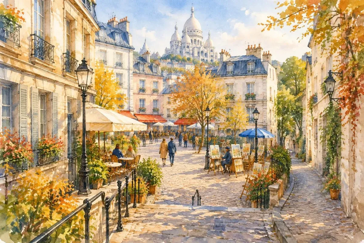
Where this tour came from
We asked our app for this walk: "Artists, cafés and hidden corners of Montmartre." It was ready in 27 seconds. For this page we kept the route's shape, swapped its private cafés and galleries for public landmarks nearby, and wrote every story from public sources, with the sources linked. Yours will be built from whatever you ask for. Make your own: first few tours free
Your Tour At A Glance
Start: Musée de Montmartre, Rue Cortot
Finish: Place des Abbesses (Métro line 12)
Stops: 10 free public landmarks
Distance: about 1.5 miles (2.4 km), with hills
Walking time: about 2 hours with stops
Themes: artists, windmills, village history
About this sample: the stops and stories here come from public web sources only. A tour you make backs every stop with both the latest Google Maps data and live web research, with each stop's Google Maps summary and Street View.
Welcome
On your own tour, every stop is narrated, in any of 13 languages.
Welcome to Montmartre, the hilltop village that became part of Paris in 1860. This walk starts at the Musée de Montmartre on Rue Cortot, where Renoir once had a studio, and passes the city's own vineyard and Au Lapin Agile, the cabaret Picasso painted in 1905. It climbs to Sacré-Cœur and the old village square, then heads down Rue Lepic past the Moulin de la Galette, the windmill dance hall in Renoir's famous painting, to the Bateau-Lavoir studios where Picasso painted Les Demoiselles d'Avignon. It ends at the Art Nouveau Métro entrance at Abbesses. Expect steep streets and steps. Every stop is free to see from outside, and each story below links to the sources behind it.
Your Stops
1. Musée de Montmartre
12 Rue Cortot
2. Clos Montmartre vineyard
Rue des Saules, at Rue Saint-Vincent
3. Au Lapin Agile
22 Rue des Saules, at Rue Saint-Vincent
4. Parc de la Turlure
Rue de la Bonne, at Rue du Chevalier-de-La-Barre
5. Sacré-Cœur Basilica
Top of the hill, Rue du Chevalier-de-La-Barre
6. Place du Tertre
Just west of the basilica, off Rue Norvins
7. Le Passe-Muraille
Place Marcel-Aymé
8. Moulin de la Galette
Rue Lepic, at Rue Girardon
9. Le Bateau-Lavoir
13 Place Émile-Goudeau
10. Place des Abbesses
Beside the Abbesses Métro entrance and Square Jehan-Rictus
On your own tour, a live map shows the route and where you are as you walk.
Directions
Your tour begins at Musée de Montmartre, 12 Rue Cortot, which is our first stop.
Musée de Montmartre
12 Rue Cortot · Open in Google Maps
On your own tour, each stop's narration starts as you walk up to it.
Start on quiet Rue Cortot, which was called Rue Saint-Jean until 1864. Behind the front at number 12 stands the Maison du Bel-Air, built around 1660 and one of the oldest houses on the hill. Its rooms were later let as studios: Renoir, Suzanne Valadon, her son Maurice Utrillo, Émile Bernard and Raoul Dufy all lived or worked here. In 1876 Renoir rented a studio and painted The Swing in the garden, while he worked on his great dance scene at the Moulin de la Galette down the hill. The house became the Musée de Montmartre in 1960, and its gardens carry Renoir's name.
Sources: The Renoir gardens — Musée de Montmartre · Le musée — Musée de Montmartre · Musée de Montmartre — Wikipedia
Directions
Your tour continues at Clos Montmartre vineyard, Rue des Saules, at Rue Saint-Vincent, which is our second stop. Walking directions
Clos Montmartre vineyard
Rue des Saules, at Rue Saint-Vincent · Open in Google Maps
On your own tour, you can ask your guide anything here, by voice or text.
Walk down Rue des Saules and look through the railings at the vineyard on the slope. Vines grew on Montmartre for centuries, but they had disappeared by the end of the 1700s. In the early 1930s this empty lot was threatened by a building project; neighbours led by the artist Francisque Poulbot saved it and planted vines again, and the first harvest came in 1934. Today the city's gardeners tend more than 1,700 vines of over two dozen grape varieties, mostly Gamay and Pinot Noir, on a north-facing slope of sandy soil.
Sources: Clos Montmartre — Paris.fr · Les vignes du Clos Montmartre — Mairie du 18e
Directions
Your tour continues at Au Lapin Agile, 22 Rue des Saules, at Rue Saint-Vincent, which is our third stop. Walking directions
Au Lapin Agile
22 Rue des Saules, at Rue Saint-Vincent · Open in Google Maps
On your own tour, every stop is matched to Google Maps, with its Google Maps summary, Street View and a live map.
On the corner across the street is Au Lapin Agile, a cabaret that has stood here since at least the 1890s. Its earlier names were less welcoming: the Rendez-vous des Voleurs, then the Cabaret des Assassins. The name it has now comes from a sign by the caricaturist André Gill, showing a rabbit leaping out of a cooking pot: the "lapin à Gill" became the "lapin agile", the nimble rabbit. Verlaine, Apollinaire and Max Jacob were regulars. In 1905 the young Picasso painted At the Lapin Agile for the owner, Frédé, and showed himself as a harlequin. That painting now belongs to the Metropolitan Museum of Art in New York.
Sources: Le cabaret Au Lapin agile à Montmartre — Paris Musées (Musée Carnavalet) · Pablo Picasso, At the Lapin Agile — The Metropolitan Museum of Art
Directions
Your tour continues at Parc de la Turlure, Rue de la Bonne, at Rue du Chevalier-de-La-Barre, which is our fourth stop. Walking directions
Parc de la Turlure
Rue de la Bonne, at Rue du Chevalier-de-La-Barre · Open in Google Maps
The audio sample ends here. Your own tour narrates every stop: make one, first few tours free.
Follow Rue Saint-Vincent east and climb Rue de la Bonne to this terraced garden behind Sacré-Cœur. From about 1770 to 1820 a windmill, the Moulin de la Turlure, turned on this spot, until the gypsum quarries dug under the hill brought it down. The land later belonged to the Sisters of Notre-Dame du Cénacle, who made a garden here with a grotto; you can still see it behind its grille. Today it is a city park laid out in terraces joined by stairs, with pergolas of wisteria on the upper level. Its official name honours Marcel Bleustein-Blanchet, the founder of Publicis, but everyone calls it after the mill.
Sources: Parc Marcel Bleustein-Blanchet, dit Parc de la Turlure — Paris.fr · Guide de la biodiversité du 18e — Ville de Paris (PDF)
Directions
Your tour continues at Sacré-Cœur Basilica, top of the hill, Rue du Chevalier-de-La-Barre, which is our fifth stop. Walking directions
Sacré-Cœur Basilica
Top of the hill, Rue du Chevalier-de-La-Barre · Open in Google Maps
Walk around to the front of the basilica and its view over Paris. After France's defeat in the Franco-Prussian War of 1870–71, two Catholic laymen, Alexandre Legentil and Hubert Rohault de Fleury, proposed a church here as a national vow. The National Assembly approved it in 1873 and it was paid for by public subscription. Paul Abadie won the design competition with a Romano-Byzantine plan of domes, and the first stone was laid in 1875, but it was not consecrated until 1919. It was controversial from the start: critics saw it as a rebuke to the Paris Commune. Its Château-Landon limestone whitens as the rain washes it, which is why it gleams across the city.
Sources: Basilique du Sacré-Cœur — Ministère de la Culture (POP, Mérimée) · Les grandes étapes de la construction — Sanctuaire du Sacré-Cœur de Montmartre · Le Sacré-Cœur de Montmartre fête ses 150 ans — Paris.fr
Directions
Your tour continues at Place du Tertre, just west of the basilica, off Rue Norvins, which is our sixth stop. Walking directions
Place du Tertre
Just west of the basilica, off Rue Norvins · Open in Google Maps
A short walk west brings you to the old village square, laid out in the 15th century; tertre means a mound or knoll. When Montmartre became its own commune in 1790, its first town hall stood here, and the village stayed independent until Paris annexed it in 1860. On Christmas Eve 1898 a young Louis Renault drove his first car up the steep streets to this square. By then cheap rents and a lively bohemian scene had drawn painters such as Toulouse-Lautrec and Van Gogh to the hill, and artists still set up their easels here today. Look past the square toward the old church of Saint-Pierre de Montmartre.
Sources: Place du Tertre — Paris Musées (Musée Carnavalet) · Place du Tertre à Paris — Musée du patrimoine · The Lure of Montmartre, 1880–1900 — The Metropolitan Museum of Art
Directions
Your tour continues at Le Passe-Muraille, Place Marcel-Aymé, which is our seventh stop. Walking directions
Le Passe-Muraille
Place Marcel-Aymé · Open in Google Maps
Walk west along Rue Norvins to a tiny square where a man is climbing out of a stone wall. He is Dutilleul, the shy clerk in Marcel Aymé's story Le Passe-Muraille, first published in a magazine in 1941 and as a book in 1943, who discovers he can walk through walls. The story sets him in Montmartre. The bronze was made in 1989 by Jean Marais, better known as an actor, who was also a sculptor, and he gave the figure Aymé's own features. Look at how the hand and foot still seem caught in the masonry, as if he got stuck halfway.
Sources: Le Passe-muraille, monument à Marcel Aymé — À nos grands hommes (Musée d'Orsay) · Des plaques pour commémorer les personnages littéraires de Paris — Paris.fr
Directions
Your tour continues at Moulin de la Galette, Rue Lepic, at Rue Girardon, which is our eighth stop. Walking directions
Moulin de la Galette
Rue Lepic, at Rue Girardon · Open in Google Maps
Take Rue Girardon down to Rue Lepic and look up. The Moulin de la Galette was really two windmills: the Blute-Fin, which goes back to 1622, and the Radet, built in 1717. In 1834 the Radet was moved beside the Blute-Fin. Around 1870 the Blute-Fin stopped milling, and the site became a popular open-air dance hall called the Moulin de la Galette. In 1876 Renoir painted its Sunday crowds in Bal du moulin de la Galette, now at the Musée d'Orsay. After several moves, the Radet came to rest on this corner in the 1920s, and the Blute-Fin, rising above the garden walls along Rue Lepic, is a listed historic monument.
Sources: Bal du moulin de la Galette — Musée d'Orsay · Moulin de la Galette (Blute-Fin) — Ministère de la Culture (POP, Mérimée) · Bal du moulin de la Galette — Wikipedia
Directions
Your tour continues at Le Bateau-Lavoir, 13 Place Émile-Goudeau, which is our ninth stop. Walking directions
Le Bateau-Lavoir
13 Place Émile-Goudeau · Open in Google Maps
Follow Rue Lepic down and turn left on Rue Ravignan to the small, leafy Place Émile-Goudeau. At number 13, an old building was turned into artists' studios in 1889: about twenty cramped wooden rooms sharing a single water supply. The poet Max Jacob is credited with its nickname, the Bateau-Lavoir, after the laundry boats on the Seine. Picasso's circle arrived around 1904, and Georges Braque, Juan Gris and Amedeo Modigliani all passed through. Here, in 1907, Picasso painted Les Demoiselles d'Avignon, the canvas that opened the way to Cubism. A fire destroyed the wooden building in 1970; the front you see is a 1978 rebuild that recreates the old façade.
Sources: Bateau-Lavoir — Encyclopédie Larousse · Le Bateau-Lavoir — Musée du patrimoine · Paris cosmopolite — Académie de Versailles (PDF)
Directions
Your tour continues at Place des Abbesses, beside the Abbesses Métro entrance and Square Jehan-Rictus, which is our tenth stop. Walking directions
Place des Abbesses
Beside the Abbesses Métro entrance and Square Jehan-Rictus · Open in Google Maps
Walk down Rue Ravignan to Place des Abbesses, where the walk ends. The Métro station is named for the abbesses who ran the old Abbey of Montmartre. Its glass-roofed Art Nouveau entrance was designed by Hector Guimard around 1900 for the Hôtel de Ville station and moved here in 1974. In the little Square Jehan-Rictus beside it, laid out in 1936 on the site of Montmartre's old town hall, is Le Mur des je t'aime: "I love you" written 311 times in more than 250 languages. It was made in 2000 by the songwriter Frédéric Baron with the calligrapher Claire Kito.
Sources: History of Abbesses station — RATP · Square Jehan-Rictus — Paris.fr
Directions
This is our last stop. The Abbesses Métro station (line 12) is right here.
🎉 You walked Montmartre
This tour covers the classic landmarks. For a Montmartre walk built around what you love, such as Impressionist painters, cabaret history, films shot on the hill or food, tell AI Walking Tour what you want. It builds a narrated tour where every stop is backed by both the latest Google Maps data and live web research, with the sources linked, in your language. Your first few tours are free.
More sample tours: French Quarter · Midtown
Tips for walking Montmartre
- The hill is steep, with long flights of steps. Wear comfortable shoes and take your time.
- The steps and lawns below Sacré-Cœur get very busy. Keep an eye on your bag and phone there; pickpockets work the crowds.
- Go in the morning for quieter streets and softer light on the basilica.
- Montmartre is a residential neighborhood. In the evening, keep your voice down on the side streets.
- Square Jehan-Rictus, home of the Mur des je t'aime, is sometimes closed. Check paris.fr before you go.
Montmartre walking tour FAQ
Can you do a Montmartre walking tour on your own?
Yes. Montmartre is small enough to walk, and every stop on this tour is a public landmark you can see from outside for free. Follow the stops in order, or open the full route in Google Maps. The streets are steep, with steps in places.
Is there a free Montmartre walking tour?
This one. The route and stories on this page are free, with no booking, and every stop is free to see from outside. Print it or save it as a PDF to carry with you.
How long does this Montmartre walking tour take?
The walk is about 1.5 miles (2.4 km), with hills and steps. Allow about 2 hours with time to stop and look, and longer if you go inside Sacré-Cœur or the Musée de Montmartre.
Where does the tour start and end?
It starts at the Musée de Montmartre on Rue Cortot and ends at Place des Abbesses, beside the Abbesses Métro station (line 12).

Scan for this tour online, with audio narration.
Free self-guided tour from AI Walking Tour · aiwalkingtour.com/paris/montmartre-walking-tour
Make your own tour, about anything you like, at aiwalkingtour.com. Your first few tours are free.